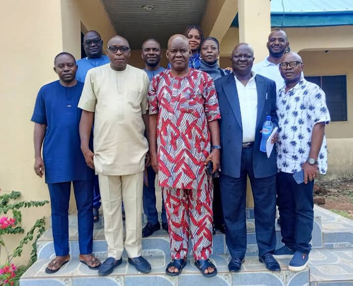
Benue Geographic Information Service (BENGIS) Collaborates with Urban Development Board
By Armstrong Tseaa, Makurdi
The General Manager of the Benue State Urban Development Board, Town Planner (Tpl) Ternongo Elias Mede, has expressed his readiness to collaborate with the Benue Geographic Information Service (BENGIS) to support the Governor’s efforts in urban beautification.
In a meeting, the Director General of BENGIS, Prof. Daniel Amine, commended Tpl. Mede’s enthusiasm for enhancing urban development. Prof. Amine emphasized the importance of street naming and numbering for the growth of urban centers, highlighting the need for synergy between both agencies to achieve success and promote Benue globally.
Prof. Amine also mentioned that BENGIS is working with the National Population Commission and other agencies to update information on Google Maps. This collaboration aims to provide citizens with accurate information on essential services, such as hospitals, markets, and recreational centers, easily accessible through Google Maps.
Tpl. Mede discussed the challenges faced by the Board in obtaining layout documents from the Ministry of Lands and Survey, despite repeated correspondence. Prof. Amine suggested that the Board copy the Governor, Rev. Fr. Dr. Hyacinth Iormem Alia, in their next letter to the Ministry, as the delay may be due to bureaucratic processes.
Tpl. Mede also highlighted the Board’s efforts in street numbering, removing illegal street names, and installing registered ones. He noted that, unlike other states, the Urban Development Board in Benue State is not responsible for designing layouts, which has led to inefficiencies.
Prof. Amine stressed the need for synergy among committees supervising lands, BENGIS, solid minerals, and the Board to ensure accurate data is uploaded to Google Maps.
The Board has initiated urban renewal projects in the Logo1 area, which is in dire need of development. Mede informed the meeting about the Board’s engagement with community leaders and plans to upgrade infrastructure, including roads, streetlights, and water supply.
A six-man committee was established to facilitate collaboration between the two agencies, ensuring the successful implementation of uploading Benue’s layout to Google Maps.


